Dear Rotaries:
It was very kind of you to invite me for this dinner and give the opportunity to meet you all.
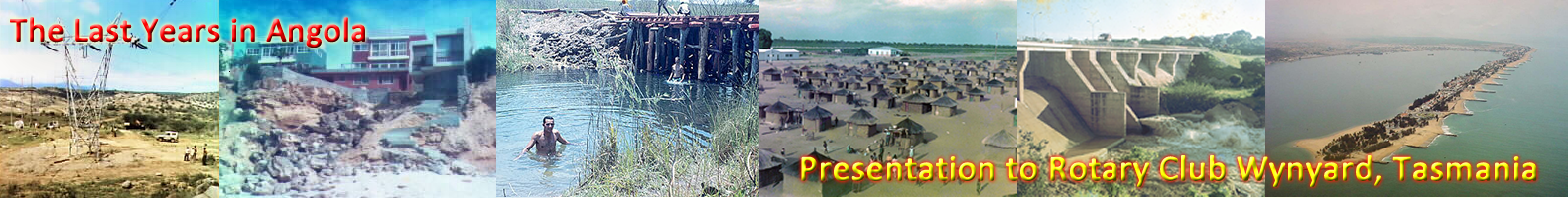
I was asked to talk about my earlier life in Angola. I prepared a few notes about what I thought would be of interest to you and also put together some photographs related to what I am going to talk about tonight.
I was born in central Angola, in a small town called Silva Porto, 41 years ago.
As you will see in the map included in the folder, Angola is a very large country situated in the West Coast of Africa just north of Namibia.
Before I start talking about me, I will give you a brief description of the events that led to the Angola discovery by the Portuguese.
As earlier as 1184 the Portuguese started sailing from Lisboa and trading in the Mediterraneo and the North Sea. In those days the Arabs controlled the trade with the Indies and the Portuguese were very keen to get a bigger share of the business.
In 1260 and 69 Marco Polo traveled to China and the Europeans learned more and more about the Orient and its wealth. Contrary to other nations of the time, the Portuguese believed Africa was a big Island and it could be circum-navigated to reach India and Japan.
Several disorganised attempts to discover the route to India by sea were made by the Portuguese with the earlier record being 1333 reaching the Canary Islands.
However only with the Henrique the Navigator, a methodic and organised approach was made. Prince Henrique started a nautical school in Sagres in the south of Portugal and from there some of the greatest navigators emerged. Unfortunately, Prince Henrique died in 1460 without seeing his efforts to reach India compensated.
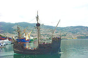
Portuguese Csravela - Madeira Island
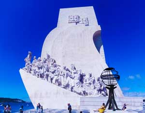
Padrão dos Descobrimentos - Lisboa
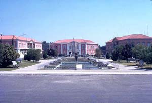
Silva Porto - Angola 1960
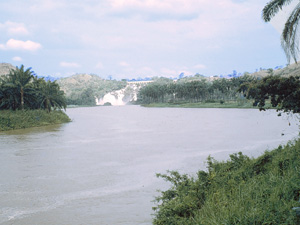
Binga Waterfalls - Novo Redondo
At the time of his death, the Portuguese had only reached Guiné but the infrastructures were firmly implemented to make Portugal the most powerful nation in the world from more than 200 years.
In 1480 Diogo Cão sailed from Lisbon and discovered the Congo River. The Portuguese were impressed with this river (2nd largest in the World) and decided to explore it. They found the natives very kind and established relations with their King: the king of the Cabindas.
Diogo Cão left some of his men with the Cabinda people and took some Africans back to Portugal. Diogo Cão made a second trip o Africa returning the Cabindas and exploring more of the coast of what is now Angola.
Diogo Cão signed a treaty with the king of the Cabindas, similar to the Waitangi treaty with the Maoris. According to this treaty, the kingdoms of Portugal and Cabinda would be allies and help each other in case of difficulties.
Apart from giving the Portuguese the opportunity of free trading in the area, this treaty was never really used until recently that the Cabindas evoked it trying to gain independence from Angola.
Angola covers an area of more than half a million square miles (1.2 million square kilometers), is approximately 6 times smaller than Australia and is situated between the parallels 4 and 14 degrees south. As a comparison, Australia starts at parallel 12 south.
Being so close to the equator one would expect the climate to be hot and sticky but because Angola is under the influence of the Benguela sea current, flowing from the Antartica, the center part of Angola enjoys a mild climate.
There are two seasons in Angola: One hot and wet lasting for more than 9 months and the other dry and cold.
During the cold season, the average temperature is 16 to 18 degrees but in the interior and earlier in the morning, the temperatures can drop below zero. These low temperatures are always linked to a suave breeze but so cold that can burn all vegetation in a matter of minutes.